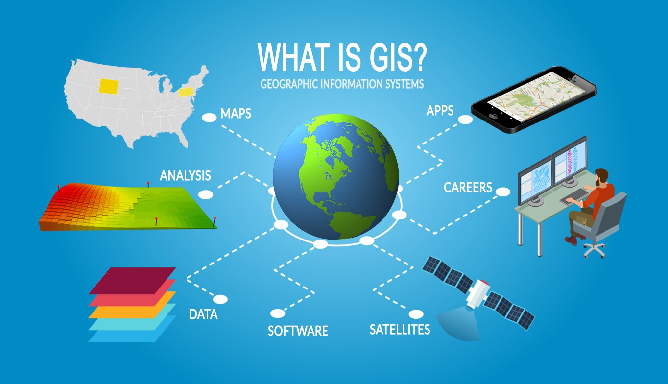
Our GIS services allow for the visualization of geographic data, analysis of spatial relationships, and efficient data management. Our Services are committed to finding the best solutions for the client’s requirements while anticipating future needs, in a world of a rapidly expanding range of geospatial tools.
We do topological modeling, geometric networks, hydrological modeling, cartographic modeling and Map Overlay among others